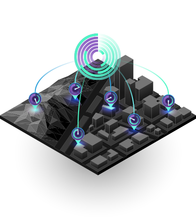
Space data management software based on web interface, users can access, update anytime, anywhere. User-friendly interface, flexible tools, the ability to continuously update, adapt all user interactions.
Provide multi-source data storage and receiving environment to convert data from various sources, bring data about unified structure, standard format, and coordinate standards.
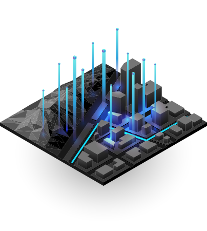
Provide an environment for users to perform spatial analysis, search for data, calculate maps, edit, build thematic, create newspaper, form statistics, print publishing, manure coordinate information and design functions in accordance with each industry management and operation
Provide different editorial rate standards, serving the construction of maps according to the standards of the law